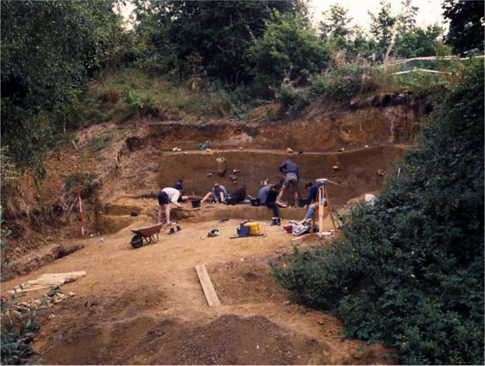
Elveden has been known as an archaeological site since the 1890s, but was first excavated in the late 1930s by Paterson and Fagg (1940) and then by the British Museum from 1995-99 (Ashton et al. 2005). The stratigraphy at Elveden is very similar to that at Barnham (only 7 km to the east), with fine-grained sediments infilling a basin that is formed in Anglian till. The site is attributed to the first half of the Hoxnian interglacial (MIS 11c) based on the geology, biostratigraphy and amino acid ratios. As with Barnham, the artefacts, consisting of handaxes, cores and flakes, were recovered from a lag gravel (bed 3), palaeosol (bed 4) and overlying brickearth (bed 5) at the margins of the basin. The environmental data only survives from the clays and silts in the centre of the basin (bed 2). A rich pollen sequence in the lower part suggests an open environment attributable to pollen zone HoI. Ostracods, molluscs and fish in the upper part of the clays and silts indicate a fluvial env... [read more]
|


