Background
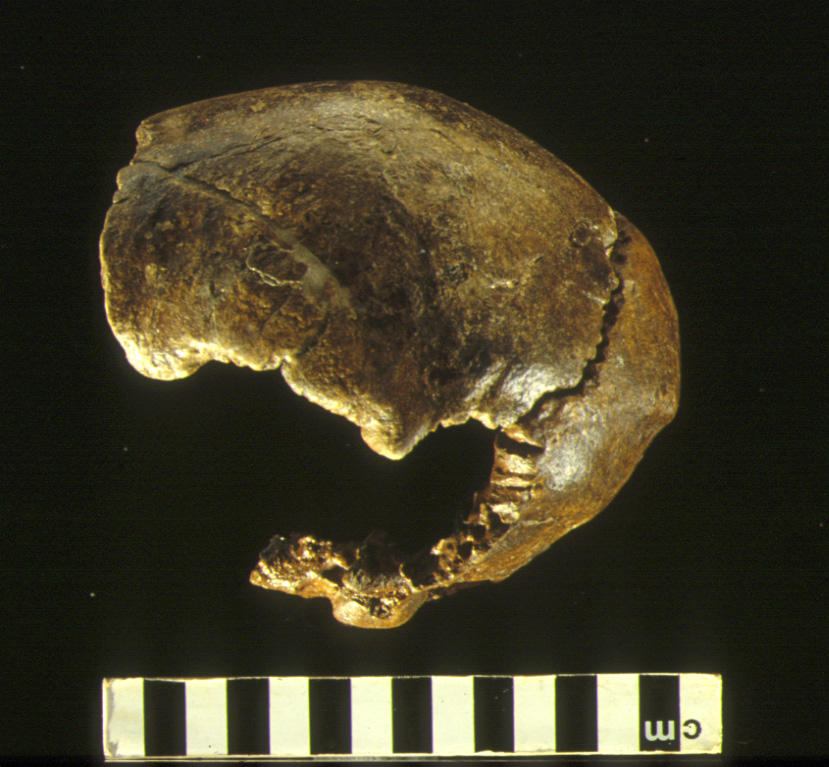
Barnfield Pit is the best known of a number of pits in the Swanscombe area that were quarried for gravel and underlying Chalk. The sequence and associated archaeology have been known since the early 20th century (Smith & Dewey, 1913; Ovey 1964; Bridgland 1994; Conway et al. 1996). There have been two major excavations at the site, those by the Wymers in the 1950s and by Waechter from 1968-72. The Thames terrace deposits, which rest on Chalk and London Clay, consist of the Lower Gravel, Lower Loam (Stage I), Lower Middle Gravel and Upper Middle Gravel (Stage II), and a series of overlying sands, loams and gravels (Stage III). The fluvial sediments (Stages I and II) are attributed to MIS 11 on the basis of stratigraphy (Bridgland, 1994), amino acid ratios (Penkman et al. 2011) and biostratigraphy (Schreve 2001; Ashton et al. 2008). Changes in the molluscan assemblages enable correlation with other sites and with the Hoxnian pollen record. This suggests that t... [read more]
|


